← All case studies
Case study 01 Solid platform · Agritech

Geapp

When the rule changes every month, for every crop and every region.

Geospatial IoT · Realtime Regulatory Mobile + Web + Backend
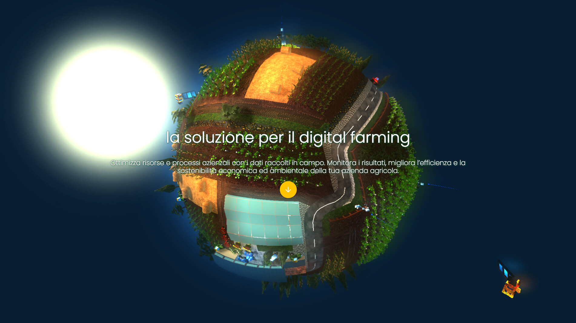
Geapp — digital farming, WebGL 3D

The challenge

A regulation that never stands still.

In precision agriculture, compliance can't be verified after the fact: it has to be built into the process. Production standards change — by crop, by region, sometimes every month — and when the rules keep moving the system has to absorb them, apply them and track them without adding complexity for the people in the field.

The goal wasn't to build a management tool. It was to design a system able to turn regulation into application logic, automate compliance, and integrate satellite data, telemetry and day-to-day operations into a single platform.
The solution

Three nodes that hold the system together.

Not a list of features, but three mechanisms that hold one another: regulation becomes an engine, field work becomes a register, the field becomes readable data.

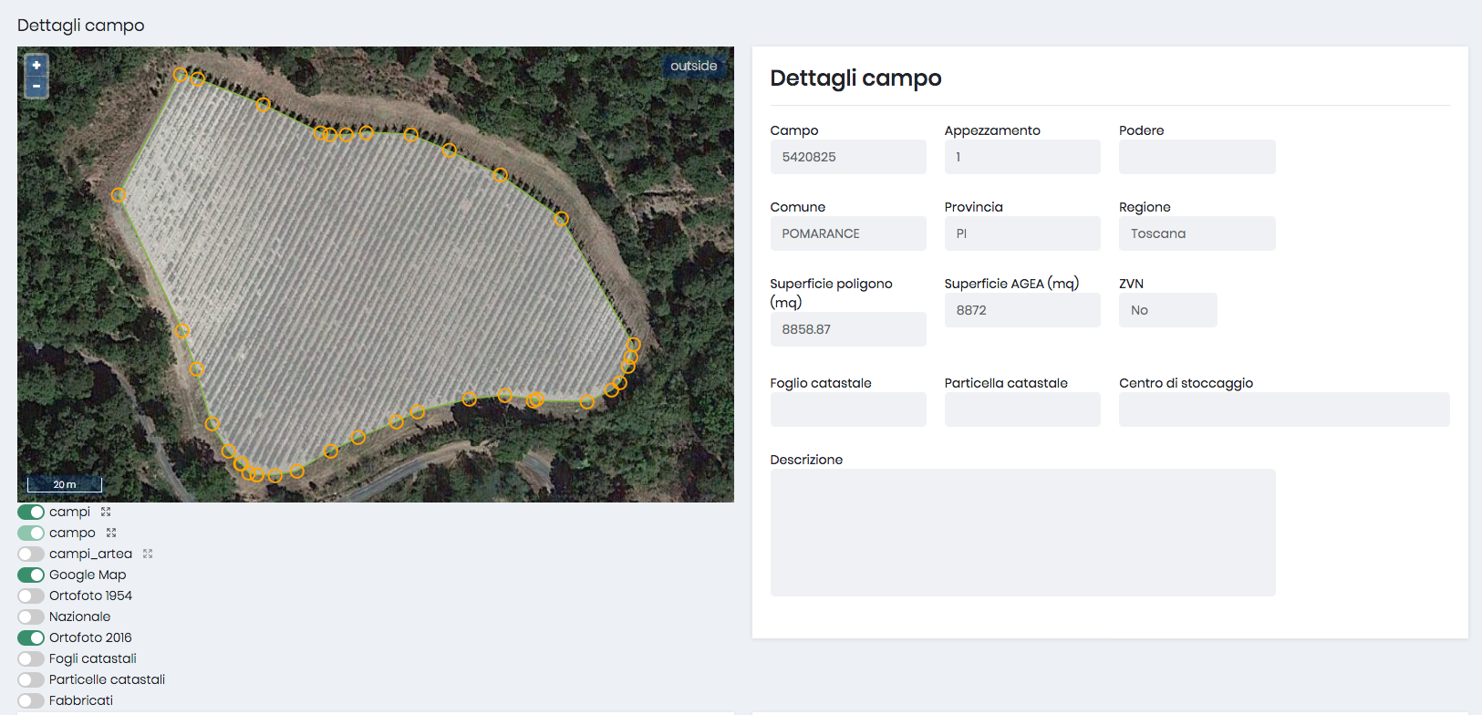
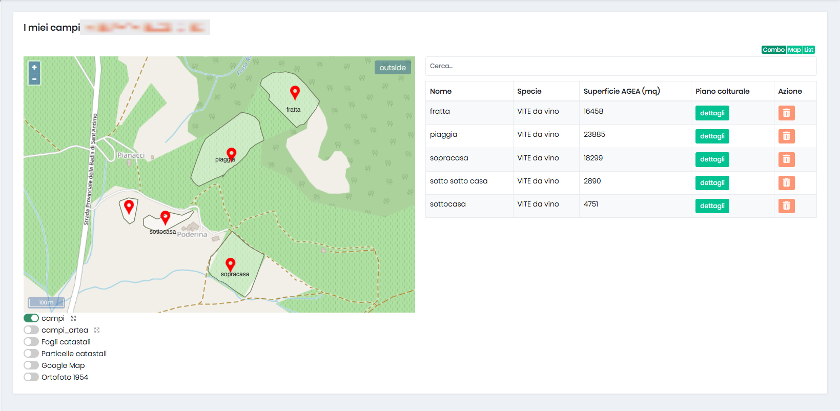
01Fields map & constraints

Regulation turned into a decision engine

Constraint engine

Every regulatory update is ingested, interpreted and converted into application rules. During planning, the system checks the compliance of crops, fields and treatments by itself — before the operation is carried out, not after.

  • Automatic ingestion of regulatory XML (monthly)
  • Limits per crop · field · product · classification
  • Compliance checked before treatment, not after
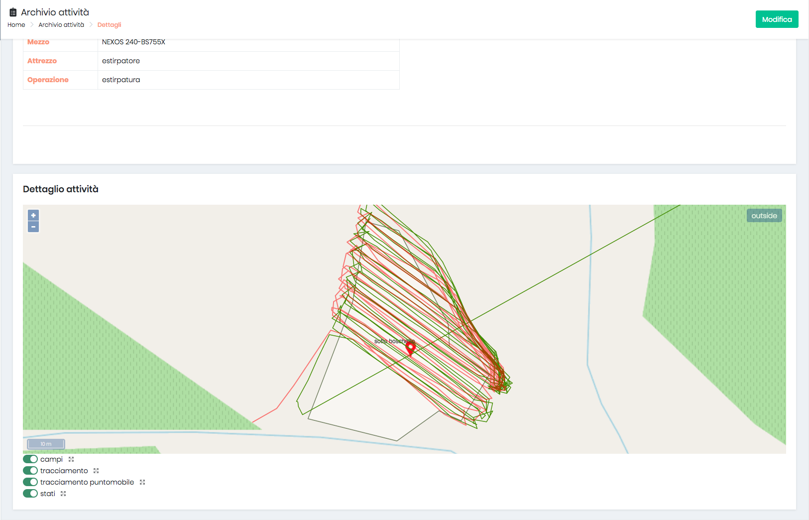
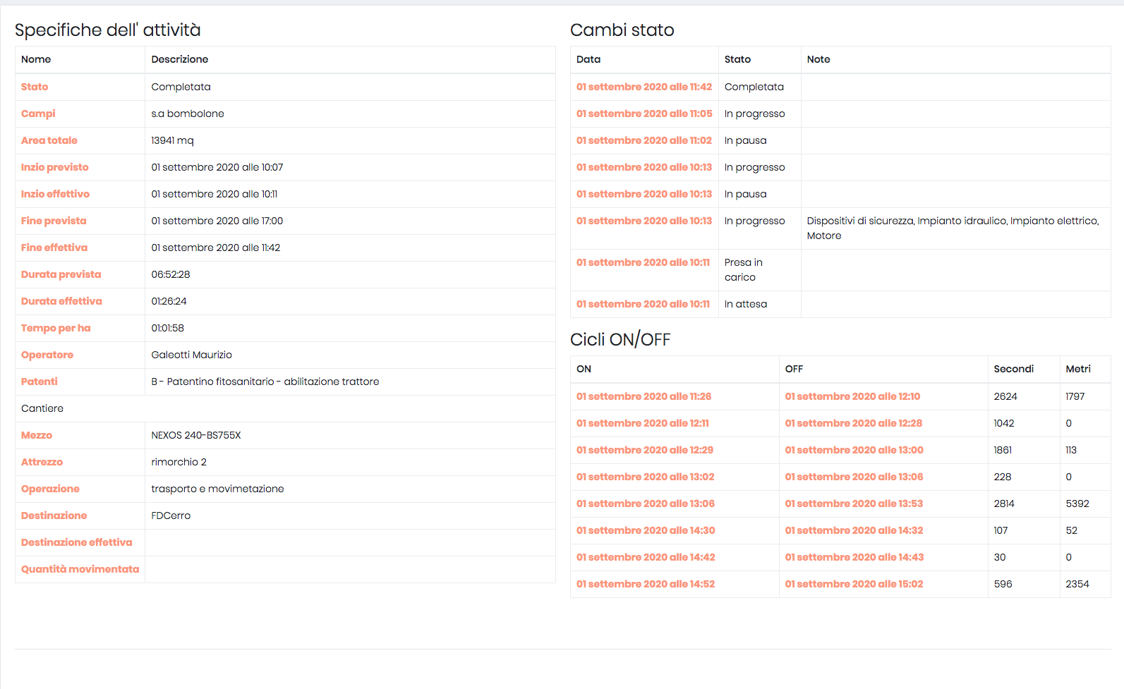
02Activity detail — auto-compiled register

Work that records itself

Auto-compiled legal registers

From the cross between the field app (position + tracker), vehicle data and the management web-app, the system generates the documents the law requires by itself — with no double entry.

  • Treatment register
  • Warehouse and stock movements
  • Field activity log
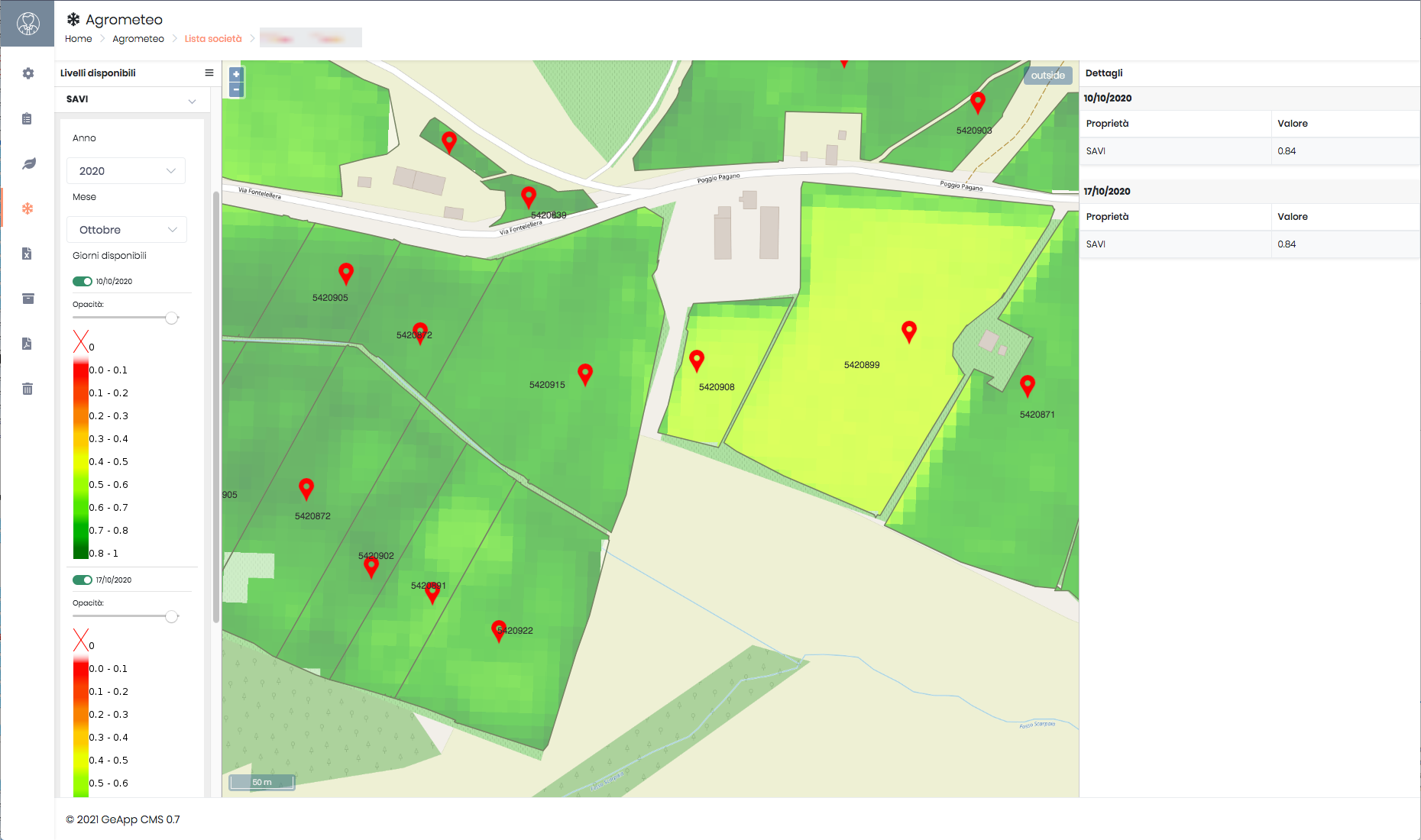
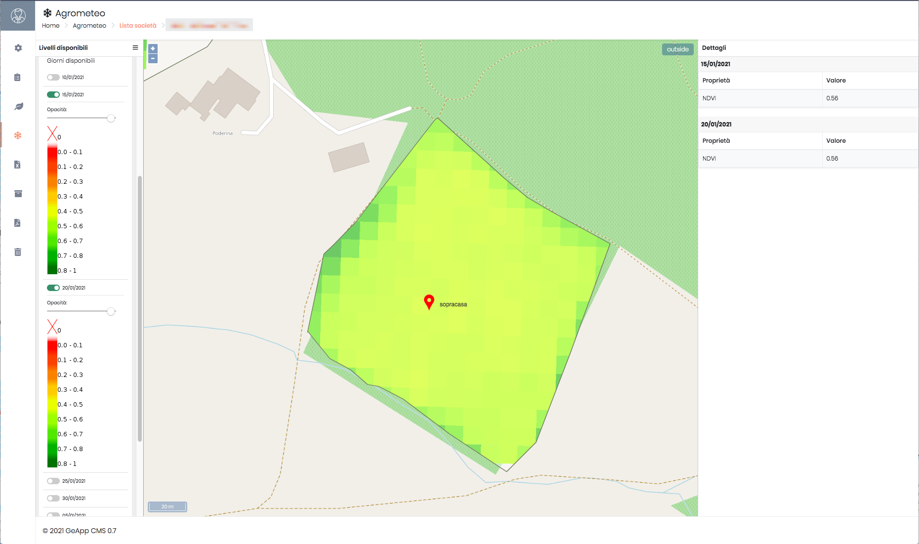
03SAVI satellite index map

Sky and ground, together

Satellite data + realtime

Above the fields, Copernicus indices tell the state of the crop; on the ground, realtime monitoring follows tracks, weather and vehicle data. One view, two scales.

  • Copernicus satellite indices per field
  • Realtime monitor: tracks · weather · vehicles
  • GeoServer as the geospatial backbone

The architecture

One system, five surfaces.

Everything talks to everything: what happens in the field reaches the backend, is enriched by geospatial data and comes back readable on web, mobile and — for the public — on a 3D site with shop.

Front · Field

Mobile app

Field and tracker: readings, position, treatments. Offline-first.

Front · Office

Management web-app

Planning, registers, warehouse and activity log.

Front · Public

WebGL site + shop

3D showcase and direct sales, on the same backend.

Core

Backend, API & constraint engine

The heart: regulatory rules, domain logic, orchestration of data and legal registers.

Geo · Data

GeoServer + Copernicus

Geospatial layers, satellite indices and realtime feeds of weather and vehicles.

The proof

What we show.

Real screens from the production system: field app, web platform and satellite data, with demo data.

The app · the whole farm in your hand

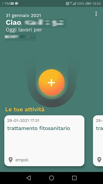
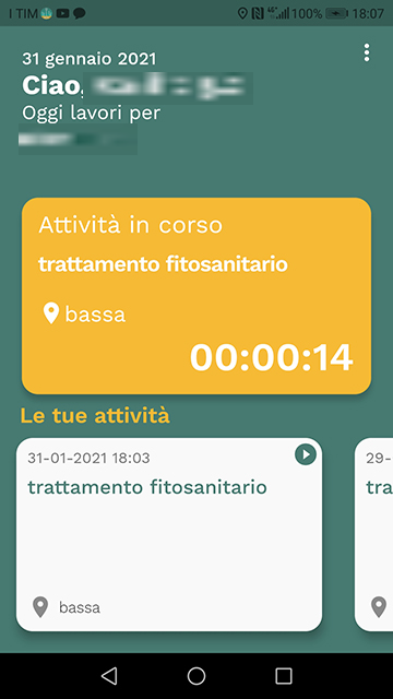
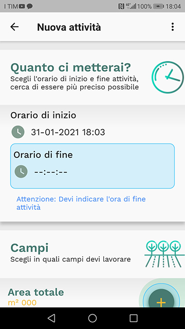
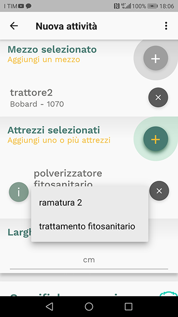
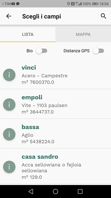
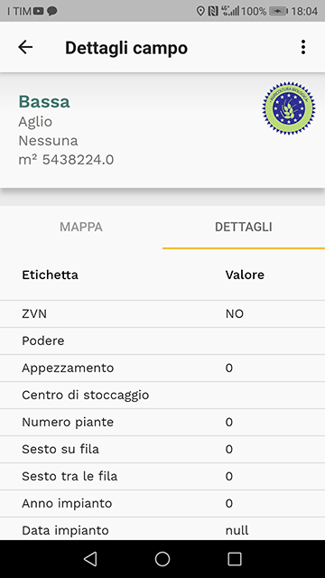
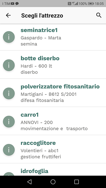
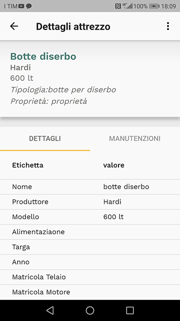
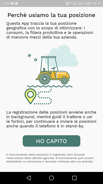
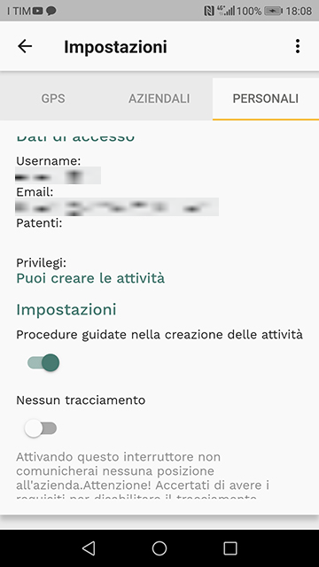
With Geapp the operator carries the entire farm in a pocket: choose vehicles and tools, run activities autonomously in the field, and stay in sync with the directions of the central web platform.

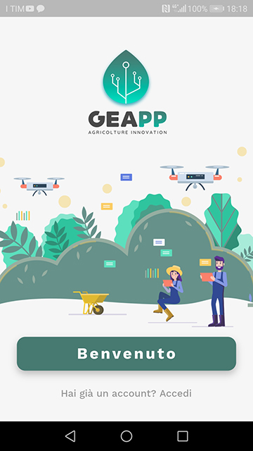
Welcome
Welcome
Home
Home
Activity in progress
Activity · timer
New activity
New activity
Choose vehicle & tools
Vehicle & tools
Fields list
Fields
Field detail
Field detail
Tools
Tools
Tool detail
Tool detail
GPS tracking
GPS tracking
Settings
Settings

Web platform · office & data

GPS track of the activity
NDVI satellite index
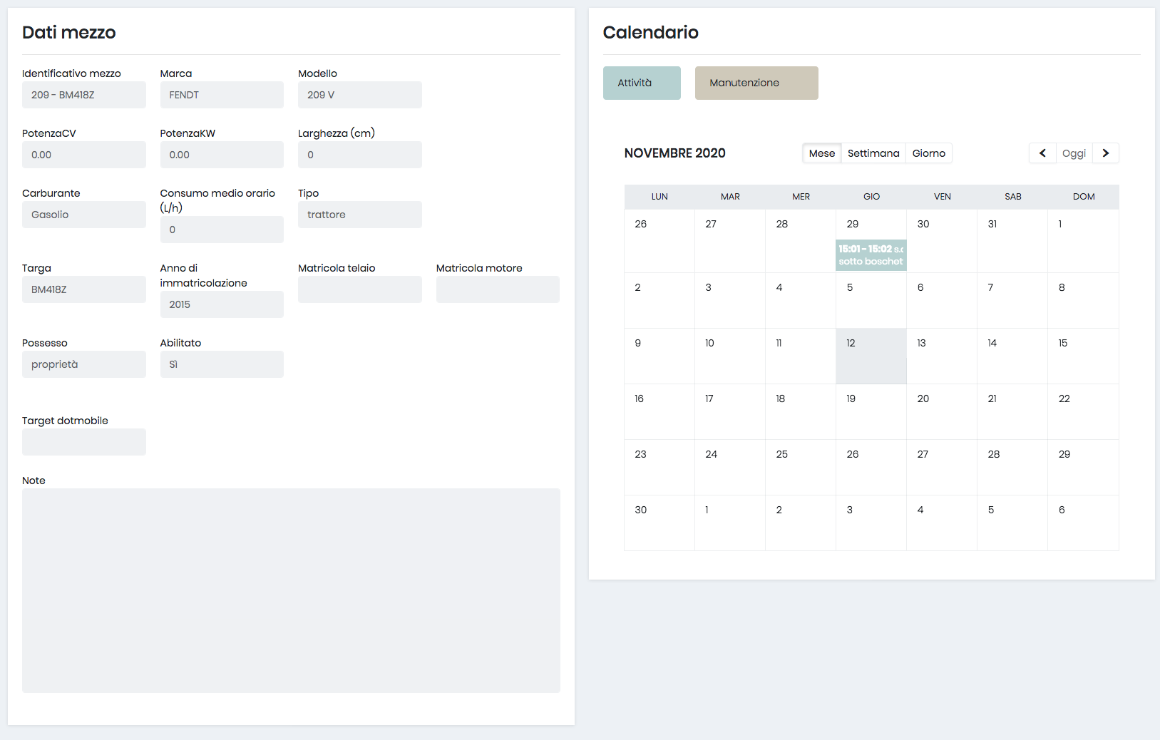
Vehicle data & activity calendar
Field detail — satellite polygon
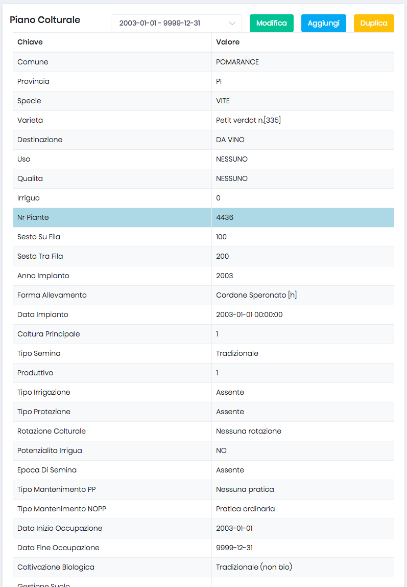
Crop plan — agronomic parameters
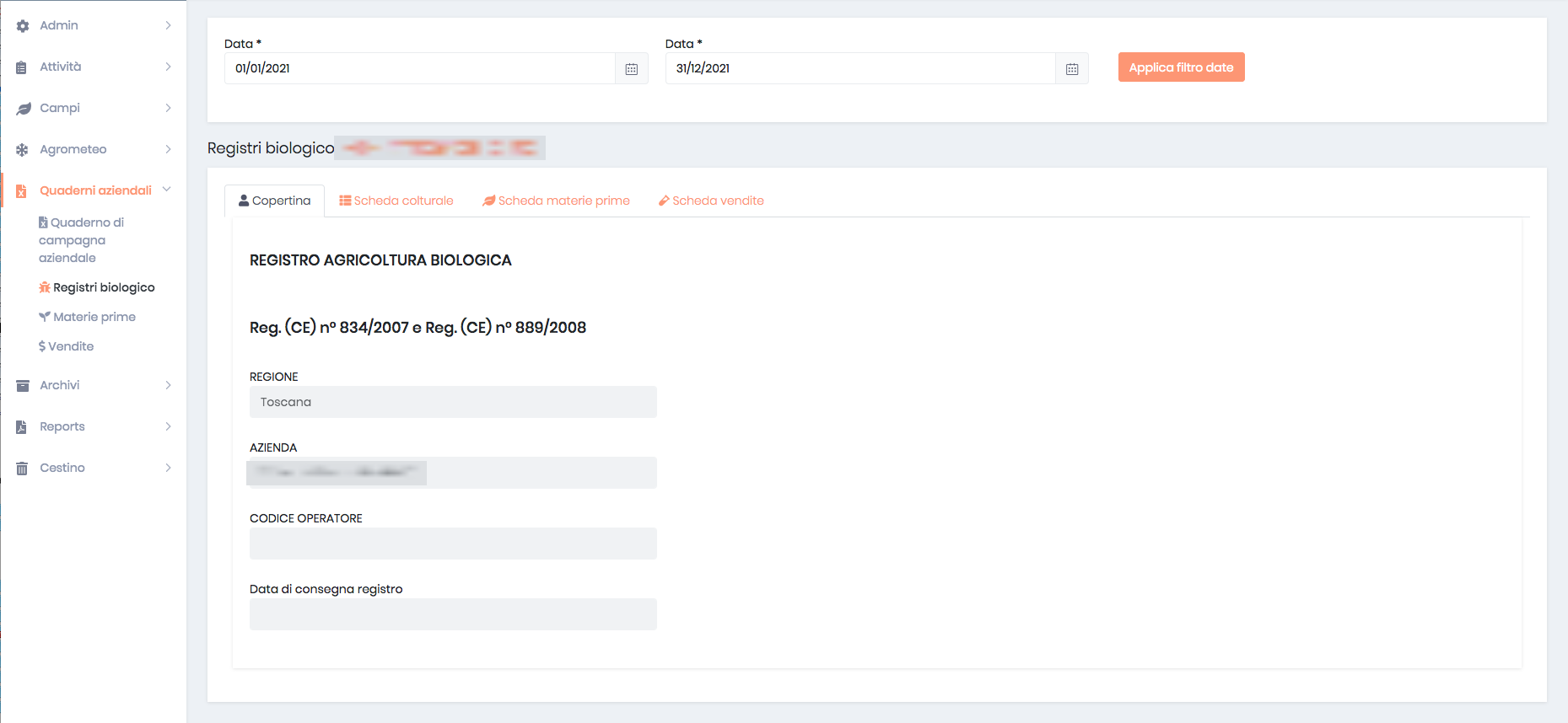
Organic legal register

Real screens from the production system · demo data.

Let's talk

Got a complex domain like this one? Let's talk.